Overview
Use of Trail: Hiking Only
Length of Trail: 1.88 Miles Roundtrip
Elevation Gain: 588 Ft. Gain
Difficulty: Easy
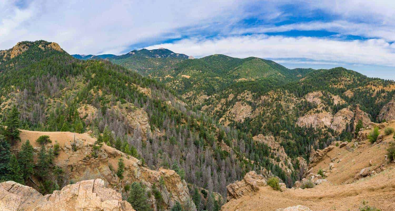
Mt. Cutler Trail is located just a few miles southwest of downtown Colorado Springs in North Cheyenne Canon Park. It is a one way trail that parallels N. Cheyenne Canon Road and heads up to the summit. The trail can be accessed from the trailhead along N. Cheyenne Canon Road. Along the way you'll see great views of Stratton Open Space, Seven Falls and Will Rogers Shrine. Enjoy this great hike with views.
Trailhead Directions:
Travel south about 0.35 mi. from I-25 (S. Nevada Street exit) and turn west on W. Cheyenne Blvd. Proceed 2.75 mi. to the intersection of N. Cheyenne Canon Road & S. Cheyenne Canon Road. Turn right onto N. Cheyenne Canon Road (past the iron gate) and travel for 1.5 miles to the trailhead on the left side of the road. Look for the “Mt. Cutler Hiking Trail” sign.
CLOSURE:
North Cheyenne Canyon Road will be closed from September 20, 2021, through May 2022. The park will still be accessible via Gold Camp Road. More information on the project here.

